Geographical environment:
Carry out environmental surveys of the plant area and carry use the appropriate scale topographical maps to assess the geographical location of the breeding plant area and confirm the future operation direction.
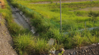
Inlet and drainage and waterway conditions:
Confirm the source of water for aquaculture and the location of the inlet and outlet of the aquaculture pond to facilitate the planning of subsequent waterway pipelines.
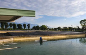
Water quality, soil and aquatic organisms:
Collect water quality parameter data such as pH, dissolved airgases, temperature, salinity, and illuminance of aquaculture pond water for reference in subsequent planning operations of aquaculture organisms.
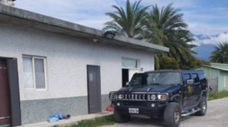
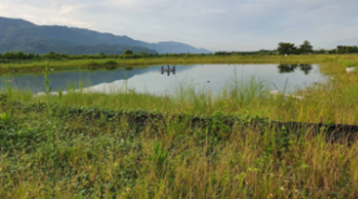
Confirm the geographic location of the farm area:
Confirm the geographic location of the farm and the number and location of the factories around the site and distance of the surrounding factories, and at the same time use an aerial camera to observe and photograph the entire farm site.